Buying recreational land near Orr can feel like chasing a Northwoods dream until one simple question changes everything: What can you actually do with the property? If you are looking for hunting land, a future cabin site, or a place to enjoy weekends outdoors, it helps to evaluate the parcel as carefully as you would any home purchase. This guide walks you through the local checks that matter most in St. Louis County so you can spot opportunities, avoid costly surprises, and move forward with more confidence. Let’s dive in.
Start With Land Use Rules
Before you focus on tree cover, trails, or a nearby lake, start with zoning and land use. In St. Louis County, the Land Use Division oversees zoning, land use permits, subdivision rules, floodplain rules, and wetland-related review in county-administered areas. The county’s comprehensive plan also guides setbacks, land alterations, and protections for lakes, streams, and wetlands.
That matters because a parcel that looks ideal on a map may have real limits on how it can be used. County planning materials note that some older paper subdivisions are not actually buildable due to wetlands, topography, or missing right-of-way. The same materials also show that much of the unincorporated area falls in Forest and Agriculture land use, where parcels are typically larger than 40 acres.
Check For Natural Constraints
Some land is also identified as Natural Areas, which are generally unsuitable for intensive development. These areas may include flood-prone land, conservation easements, significant wildlife habitat, or similar constraints. If your goal includes building a cabin or adding structures later, that screening step is essential.
Review Shoreland Rules Early
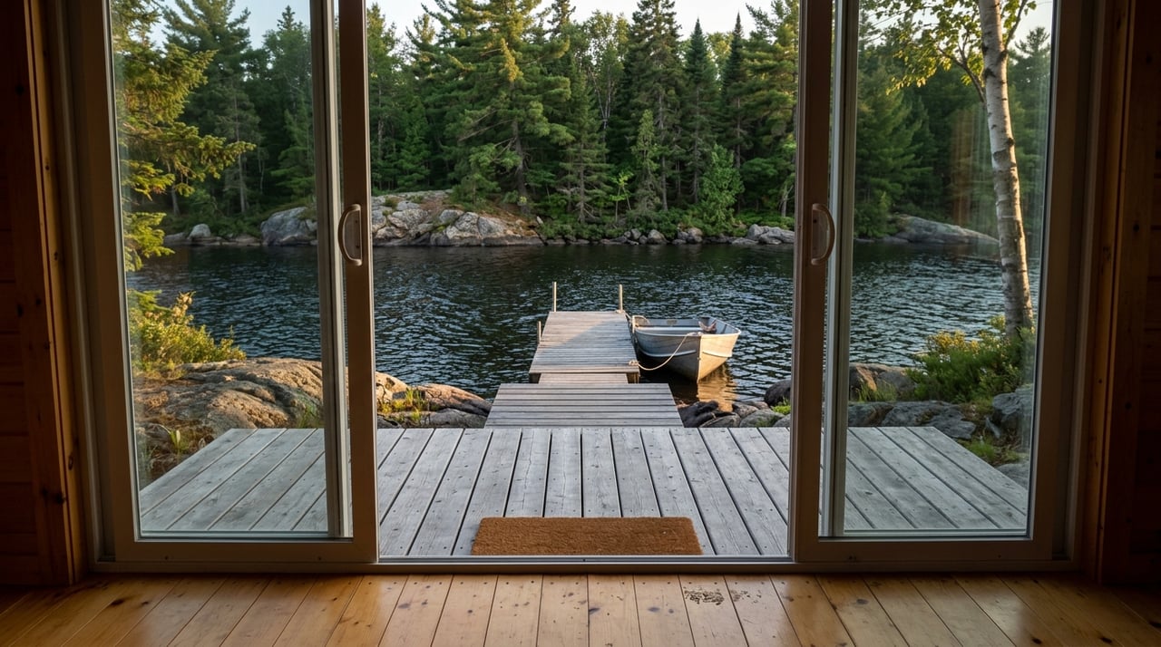
If the property is on or near water, shoreland classification becomes a major part of the decision. Shoreland rules can affect lot size, lot width, septic setbacks, structure setbacks, and the shore impact zone. In St. Louis County, lake setbacks vary by classification, ranging from 75 feet in General Development areas to 150 feet in Natural Environment areas.
Use Public Mapping Tools First
One of the smartest first moves is to research the parcel before you visit it. St. Louis County Land Explorer is especially useful because it allows you to search by PIN or address and review layers for cadastral data, environmental features, zoning and land use, onsite wastewater, recreation, tax-forfeited land sales, and more. That gives you a clearer picture of ownership, nearby public land, and county-regulated features before you ever step on the property.
The county’s Survey Explorer and records tools add another important layer. These records can help you review survey history, recorded plats, and archived survey materials. That is often where questions about easements, old plats, and boundary history begin to get answered.
Compare Maps With Real Conditions
Topography also deserves close attention. The Minnesota DNR points buyers to the USGS National Map Viewer for hill contours and small streams, and St. Louis County offers downloadable GeoPDF maps that can be used offline in the field. These are excellent screening tools, but both the county and DNR caution that legal boundaries and actual site conditions still need direct verification.
Research Recreation Features
If recreation is a big part of your decision, DNR Recreation Compass is a strong all-purpose map. It helps you search by place name, coordinates, or map layers. For water-based research, LakeFinder can help you review lake surveys, depth maps, water clarity, water quality notes, fish consumption guidance, and water access status on thousands of lakes and rivers.
Confirm Legal Access
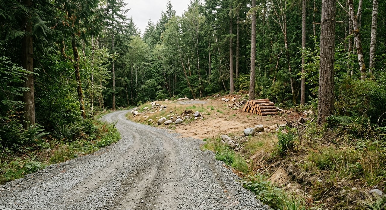
A beautiful parcel is not very useful if you cannot legally reach it. One of the first things to verify is whether the property has legal frontage on a public road, a recorded easement, or only what looks like an old trail or paper road. This is one of the most common issues that can change a deal.
County survey records and recorded plats are the best place to confirm access history. Road location also matters because setback rules can vary by road functional class, which may affect where a driveway can go and how usable the buildable area really is.
Watch For Paper Road Problems
Older paper subdivisions near Orr can create false confidence for buyers. A map may show lots and roads, but some of those roads may lack right-of-way or may not support actual access in a way that helps your intended use. St. Louis County planning materials specifically note that some paper subdivision lots are unbuildable.
Evaluate Topography, Wetlands, and Drainage
Land that appears dry and open in an aerial image can still have serious drainage or wetland issues. Walk both the high and low spots if possible, then compare what you see to aerial imagery, topo layers, and wetland resources. This step matters whether you plan to build, camp, hunt, or simply hold the property for the future.
St. Louis County enforces the Wetland Conservation Act outside cities and advises landowners who are considering construction or alteration in wetland areas to contact the county or local government unit. The county also notes that wetlands and topography are common reasons older lots are not buildable. In other words, a large parcel may still have a very limited usable footprint.
Don’t Assume Maps Equal Approval
County and DNR map layers are excellent for screening, but they are not construction approvals or legal boundary tools. If a parcel seems tight on buildable area because of wetlands, floodplain, shoreland setbacks, or slopes, treat that as a serious follow-up item before you buy.
Study Soils Before Planning A Cabin
If you hope to build a cabin or install any onsite wastewater system, soils should be a priority. The USDA NRCS Web Soil Survey provides current soil data that can help evaluate septic absorption fields, foundations, recreational areas, and development limitations. Soil limitations can affect roads, building pads, and long-term usability.
This is especially important in rural northern Minnesota, where raw land can vary dramatically from one part of a parcel to another. Good recreational ground for hiking or hunting does not always mean good soil for septic or foundations.
Understand Permit Needs
St. Louis County requires land use permits for many construction-related activities, and septic permits are required for many projects. Those septic plans are typically prepared by licensed designers or installers. If a project does not comply with county ordinances, a variance may also be needed.
Look Beyond Tree Count
Timber value and habitat quality are not just about how many trees you see from the road. A stronger review looks at stand composition, harvest history, and regeneration. That gives you a better sense of long-term habitat quality and how the land may function for recreation.
If the parcel is near public forest land, it also helps to understand how surrounding land is managed. The DNR notes that on state forest lands, local forestry offices consider active timber sales, hunting seasons, road projects, and overharvesting risk before issuing harvest permits. In St. Louis County, tax-forfeited trust lands are managed for the sustained benefit of the public.
Assess Hunting Potential Carefully
For hunting-focused buyers, location on a map is only the starting point. The DNR deer permit area map can help you see which management area a parcel sits in. Deer permit areas are based on landscape features, habitat, land uses, deer populations, and hunter distribution.
It also helps to verify whether nearby land is public or private. The DNR says detailed maps are the easiest way to make that distinction, and public hunting opportunities may exist on county land, state forest land, and Forest Legacy lands. Forest Legacy lands in counties including St. Louis include public hunting rights and other recreation opportunities.
Verify Boundaries On The Ground
If a parcel borders state forest land, be careful not to assume every nearby acre is open for your use. State forests are open to activities like hunting, trapping, fishing, camping, wildlife watching, and OHV use, but state forest boundaries can still contain private holdings within them. The DNR also cautions that public land boundary data is not accurate enough for navigation or legal boundary work.
Check Nearby Lakes And Public Access
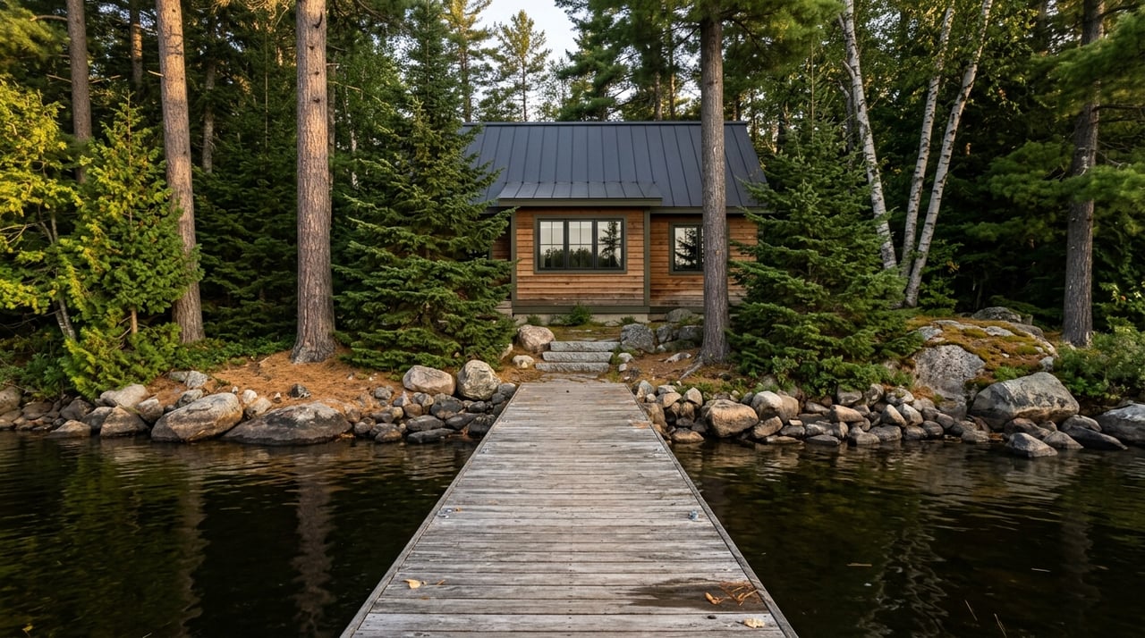
For many buyers near Orr, the land itself is only part of the lifestyle. Nearby lakes, public water access, and water conditions can be just as important as the acreage. If you are thinking about a future cabin, fishing trips, or a base camp for boating, this part of the search deserves time.
The DNR says public water accesses are generally open 24 hours unless posted otherwise. LakeFinder can help you check the status of a specific access, while Recreation Compass shows public water accesses on the map. If the parcel has shoreline or sits near a waterbody, check the shoreland classification before you assume a future building plan will work.
Red Flags That Can Change The Deal
Some of the biggest problems with recreational land are easy to miss at first glance. A parcel may look large on aerial imagery but still offer very little usable cabin ground once wetlands, shoreland setbacks, floodplain, and weak soils are considered together. That can affect value, buildability, and long-term enjoyment.
Other warning signs include:
- No recorded access
- A driveway that crosses another property
- Lots in an older paper subdivision with missing road right-of-way
- Heavy reliance on adjacent public land without verifying current access rules
- Assumptions about public land boundaries that have not been checked in person
Tax-forfeited land can also involve future changes such as merger, reversion, or marketing back to forestry or agricultural interests. That does not automatically make a parcel a bad purchase, but it does mean you should understand the larger context before moving ahead.
A Smart Evaluation Process Near Orr
If you want a practical way to evaluate recreational land near Orr, keep your process simple and disciplined. Start with county land use and zoning review, then move to access, wetlands, topography, soils, and water-related restrictions. After that, look at habitat, recreation value, and how the parcel fits your long-term goals.
A good parcel is not always the one with the best photos or the most dramatic map pin. It is the one that matches how you plan to use it, what local rules allow, and what the land can realistically support. That kind of clarity can save you money, time, and frustration.
When you are ready to sort through acreage near Orr with a local, practical lens, Vermilion Real Estate Services can help you evaluate the details that matter most and find land that fits your goals.
FAQs
What should you check first when buying recreational land near Orr?
- Start with St. Louis County land use, zoning, and permitting rules to confirm whether the parcel fits your intended use before focusing on lifestyle features.
How can you verify access to recreational land in St. Louis County?
- Review whether the parcel has legal frontage on a public road or a recorded easement, and use county survey records and recorded plats to confirm access history.
Why do wetlands matter when evaluating land near Orr?
- Wetlands can limit building, road placement, and other site improvements, and St. Louis County notes they are a common reason some older lots are not buildable.
How do shoreland rules affect land near lakes in St. Louis County?
- Shoreland classification can change lot requirements, septic setbacks, structure setbacks, and how close building can occur to the water.
What tools can help research recreational land near Orr before a showing?
- Helpful screening tools include St. Louis County Land Explorer, county survey records, USGS topo mapping, DNR Recreation Compass, DNR LakeFinder, and the USDA NRCS Web Soil Survey.
Can a parcel near public land still have boundary issues?
- Yes. The DNR states that public land boundary data is not accurate enough for legal boundary work, and some private holdings can exist within larger public land areas.
What makes a recreational parcel a poor cabin site near Orr?
- Common issues include weak soils, limited septic feasibility, wetland constraints, floodplain concerns, shoreland setbacks, and missing legal access.