You want a lake place near Orr where mornings start on the dock and plans come easy. Before you fall in love with the shoreline, make sure the lines on paper match the lines on the ground. A good survey can save you money, time, and stress by answering the biggest questions about what you can build and where. In this guide, you will learn what surveys show, which one you need, when to order it, and how Minnesota’s OHWL rules and St. Louis County shoreland zoning affect your plans. Let’s dive in.
What a lake lot survey shows
Boundaries and corners
A boundary survey finds the legal corners and maps the line segments between them. It ties field monuments to the deed description, whether your lot is described by metes-and-bounds, a recorded plat, or a certificate of survey. Seeing real corners on the ground gives you clarity about where your property starts and ends.
Improvements and setbacks
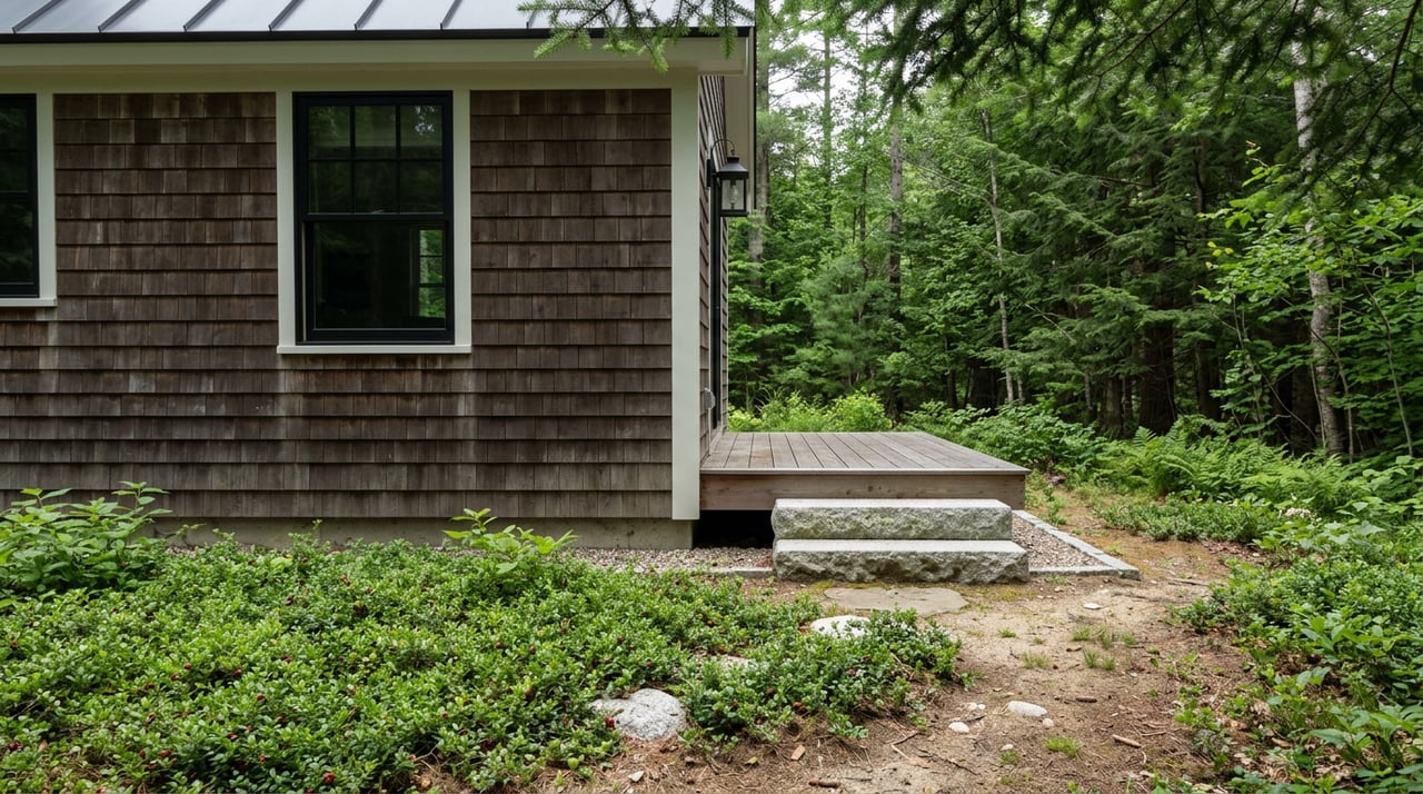
Surveys show where buildings, decks, driveways, septic systems, and other improvements sit relative to the lot lines and setback lines. This is critical if you plan a remodel, teardown, or new build. You can compare planned footprints to actual setbacks before you spend on design.
Encroachments and easements
A survey identifies improvements that cross a boundary, like fences or shared driveways, and plots recorded easements for utilities or access. If the neighbor’s shed or dock sits over the line, you want to know early so you can address it with the seller.
Shoreline features and OHWL
On Minnesota lake lots, the Ordinary High Water Level, or OHWL, is a key shoreline reference. Setbacks for structures are often measured from the OHWL, not the water’s edge on a given day. Some surveys will map the OHWL based on field evidence or an existing agency determination, which helps you confirm where you can place a home, garage, or stairway.
Topography and drainage
When ordered, a topographic or site survey adds contours, grades, and drainage patterns. For waterfront lots, this helps with septic design, driveway slopes, and compliance with shoreland rules. If wetlands or floodplain may be present, specialty studies are usually needed in addition to a basic boundary survey.
Legal notes and certifications
A professional survey includes references to the deeds, plats, and county records used, plus a signed certification by the licensed surveyor. These notes are your record trail and can be important for permits and title insurance.
Minnesota and county rules that matter
OHWL and setbacks in Minnesota
Minnesota commonly uses the OHWL to mark the shoreline interface that influences private use and public waters. Setbacks for homes and structures are measured from the OHWL or property lines according to local shoreland ordinances. If the OHWL is unclear or disputed, a field determination by a surveyor or agency may be needed.
Shoreland zoning in St. Louis County
St. Louis County enforces shoreland standards that address structure setbacks, impervious surface limits, vegetation management, and septic placement. Before you commit to plans, contact county planning and environmental services to review lake-specific setbacks and permit requirements for your parcel.
Docks, boathouses, and shoreline work
Docks and shoreline alterations often require permits from the Minnesota DNR or county authorities. Some lakes have public access corridors or recorded easements that limit private frontage use or require shared docking. A survey helps you confirm your riparian area and whether recorded rights affect your intended use.
Records and GIS
County GIS and parcel maps are helpful for a first look at boundaries and recorded documents. Keep in mind that online maps may not reflect recent changes, precise corners, or the true OHWL. Always rely on a licensed surveyor and recorded documents for final decisions.
Which survey you need, and when
Boundary survey
- Purpose: Locate corners, map boundary lines, and flag obvious encroachments.
- Best for: Typical lake lot purchases, unclear corners, or improvements near the lines.
ALTA/NSPS Land Title Survey
- Purpose: A comprehensive standard used by lenders and title companies that maps boundaries, improvements, easements, rights-of-way, and other recorded matters.
- Best for: Teardowns or new builds, lender-required surveys, and full title risk review.
Topographic or site survey
- Purpose: Adds contours and site features used for building and septic design.
- Best for: New construction, septic replacement, and grading plans.
Shoreline or OHWL determination
- Purpose: Maps the OHWL to confirm shoreline control lines that drive setbacks.
- Best for: Lots with unclear water levels, planned waterfront structures, or disputed shoreline limits.
Stakeout and boundary marking
- Purpose: Place stakes at corners and critical points so you and your contractor can see the lines on site.
- Best for: Driveway alignment, home siting, and avoiding accidental encroachments during construction.
When to order a survey in Orr
Order before you offer if risk is high
Consider ordering a boundary survey or stakeout before you make an offer when your decision depends on exact locations. Red flags include narrow lots, irregular shapes, visible encroachments, vague legal descriptions, or plans for a teardown or new dock. Knowing the facts early can prevent a costly mistake.
Use a survey contingency
If timing is tight, include a survey contingency in your purchase agreement. Give yourself time to obtain or review a current survey that shows boundaries, setbacks, OHWL if available, and any encroachments. Ask your attorney to include a cure period or termination right if material issues are discovered.
Complete surveys before closing and permitting
If you are financing, your lender or title company may require an ALTA survey. Even for cash purchases, get updated boundary and topographic information before you finalize plans. Always request staking before any excavation, driveway work, or structure placement.
Who usually pays
Payment is negotiable. Buyers often pay for surveys used for their due diligence, especially on vacant or redevelopment lots. Sellers sometimes provide older surveys, but you should verify the date, confirm that corners can be set or found, and determine if updates are required.
A quick decision guide
- Planning a teardown, new home, septic, or dock: Order an ALTA and topographic survey, and stake corners before closing if possible.
- Seller provides a recent certified boundary survey: Verify the date, confirm it shows easements and OHWL if available, and consider staking for peace of mind.
- Visible encroachments or unclear corners: Obtain a boundary survey and staking before finalizing your offer, or use a clear survey contingency.
Your due diligence checklist
- Request any seller surveys, plats, septic records, and shoreline or OHWL information.
- Review St. Louis County recorder and GIS records for plats, certificates of survey, and easements.
- Call St. Louis County planning and environmental services to confirm shoreland setbacks and permits for your lake.
- Choose the survey type you need and get estimates from local licensed surveyors.
- If building, schedule staking before permits or site clearing.
- Talk with your title company and lender early about survey requirements.
Local realities near Orr
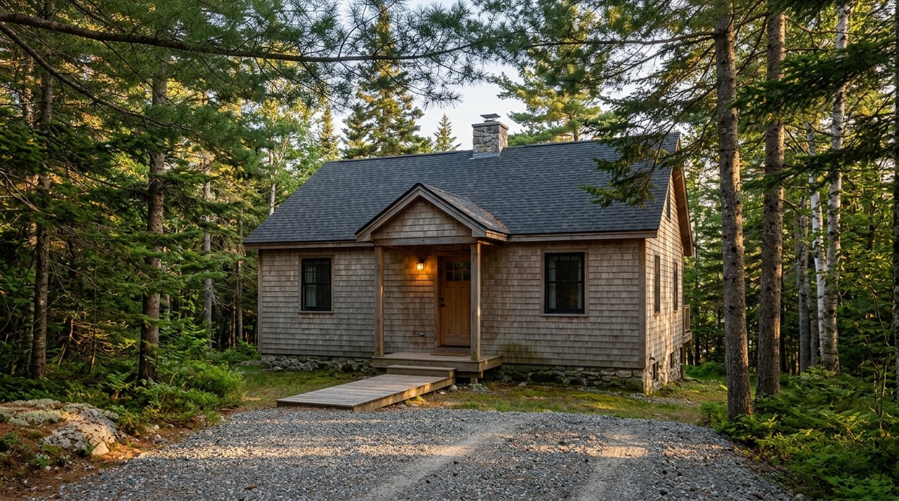
- Many lake parcels around Orr are wooded and irregular. Brush, trees, and variable terrain can hide monuments and increase field time, so plan for realistic survey schedules and costs.
- Shoreland rules add extra layers beyond standard zoning. Accurate surveys and clear OHWL information are essential for siting your home, septic, and access the right way.
Key terms, simply defined
- Boundary survey: A map locating legal corners and boundary lines on the ground.
- ALTA/NSPS survey: A comprehensive survey standard used by lenders and title companies that includes boundaries, improvements, and recorded easements.
- OHWL: The Ordinary High Water Level used to measure many shoreline setbacks in Minnesota.
- Encroachment: An improvement that crosses a property line.
- Easement: A recorded right to use a portion of land for a specific purpose, such as utilities or access.
- Certificate of survey or recorded plat: A recorded map that shows lot dimensions and sometimes building setbacks and easements.
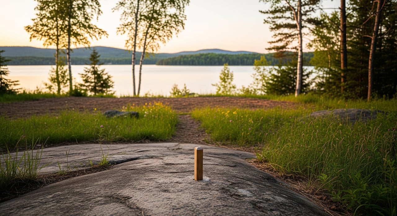
- Survey staking: Physical stakes placed at corners or along lines so you can see boundaries on site.
What to do if a survey finds issues
If the survey shows an encroachment, you have options. You can negotiate for a recorded easement, ask the seller to move the improvement, or adjust the price to reflect the issue. Title insurers may require a resolution before issuing certain coverages, especially for new construction.
If the only available survey is older, do not assume it is invalid. Conditions change and monuments can be disturbed, so ask for an update or boundary check and staking. Remember that title work does not replace a survey. Title shows recorded matters, while a survey locates improvements relative to the record. An ALTA survey helps bridge both sides.
Your next step
Lake lots around Orr reward careful planning. With the right survey and a clear read on OHWL and shoreland rules, you can buy with confidence and build the getaway you want. If you would like local guidance on which survey to order and when, connect with a place-based specialist who understands St. Louis County shorelines.
When you are ready to talk through a lot you are considering, reach out to Vermilion Real Estate Services. We are here to help you move from research to relaxing on the dock.
FAQs
What does a Minnesota lake lot survey include?
- A typical survey shows boundary lines and corners, existing improvements relative to setbacks, recorded easements, visible encroachments, and, when requested or available, shoreline OHWL references.
How does the OHWL affect where I can build in Orr?
- In Minnesota, shoreland setbacks are often measured from the OHWL. Confirming the OHWL helps you and St. Louis County determine where a home, garage, or stairway can be located.
Which survey is best for a teardown or new build?
- An ALTA/NSPS survey combined with a topographic survey is often best for redevelopment. It gives lenders, title companies, and your designer the comprehensive detail they need.
Should I order a survey before making an offer on a lake lot?
- Order early if the lot is narrow or irregular, if encroachments are suspected, or if your plans depend on exact siting. Otherwise, use a survey contingency so you can review results after acceptance.
Who decides the OHWL if it is unclear on my lake?
- The OHWL can be set by prior determinations, county or DNR records, or a field determination by a surveyor and agencies when needed.
Does a title report replace the need for a survey?
- No. Title research shows recorded documents, while a survey locates improvements and boundaries on the ground and maps recorded matters to the site.
What happens if my survey shows a neighbor’s encroachment?
- You can negotiate a recorded easement, ask for removal, or adjust price and terms. Title insurance requirements may depend on resolving the issue.
Is an older survey acceptable for closing in St. Louis County?
- It depends. Age alone does not invalidate a survey, but conditions change. If it is several years old or monuments are missing, request an update or at least a boundary check and staking.